


Cruce Directo Garitas
Cruce Directo
Crossing between Mexico and the United States can turn a short drive into a long wait, especially when you do not know what is happening at the border before leaving home. Cruce Directo Garitas is built around that very practical problem. It is a free Travel & Local app from Cruce Directo that brings together updated images and waiting-time information for the Mexico–USA crossing. After spending time with it, I see the appeal immediately: it can help you decide whether to leave now, delay your trip, or consider another crossing.
My first impression was useful rather than exciting. This is not an app meant to entertain you or manage an entire journey. Its value depends on one question: can the information help you make a better border-crossing decision than you would make by simply driving toward the line and hoping for the best? For regular border travelers, that answer can often be yes. For occasional tourists who already have another trusted source, the reason to keep it installed is less obvious.
What the first week feels like
The first week is when the app makes its strongest case. A person preparing to cross can open it before getting in the car and look for a current sense of conditions at the garitas. The combination of images and waiting-time information is more useful than a bare statement that a crossing is “busy,” because a visual snapshot can give you a better feel for the shape of the line and whether the situation looks stable or unusually crowded.
I would use it as a pre-departure check, not as something to stare at continuously while driving. That distinction matters. The app is most helpful when it becomes part of a short routine: check the available information, compare it with your planned route and time, then make a decision before you are committed to the road. If you are already approaching the border, changing plans may be harder and the benefit of the information may arrive too late.
The app’s short store description, “Cruce Directo Garitas,” is simple, but it points to the narrow focus. This is specifically about border crossing points rather than a broad travel planner. I appreciate that focus because it avoids pretending to replace maps, navigation, hotel tools, or general travel research. You still need those usual alternatives for directions and the rest of your trip; this app is better understood as a specialized decision aid for the crossing itself.
Related News

Why WhatsApp Messenger Still Makes Everyday Communication Feel Easy

Jurassic World: The Game Is the Better Dino Tycoon for Strategic Players

Threads in Real Life: Who Should Join, Lurk, or Leave

How SHEIN Turned Shopping Into an Endless Content Feed

How to Make Fortnite Feel Smarter on Mobile

Should You Switch to Microsoft Outlook on Mobile?
One practical habit is to check the information twice: once while planning and again shortly before departure. The first check helps you choose a likely strategy, while the second protects you from relying too heavily on an earlier snapshot. That is one of the less obvious trade-offs here. Images and waiting estimates can be valuable, but border conditions change, so the app should inform your judgment rather than become a promise about the exact time you will spend in line.
Another useful workflow is to compare the app’s information with what you already know about your own trip. A short queue may still be inconvenient if it leads to a crossing far from your destination, while a longer queue at a familiar crossing may be preferable if the route afterward is simpler. Cruce Directo Garitas cannot make that personal calculation for you, and it should not be judged as though it were designed to do so.
The free price makes the first-week trial easy. You can see whether the information fits your crossing routine without committing money at the start. The app is available for users on Android 7.0 or later, which gives it a reasonably broad reach among older devices. Its Everyone content rating also makes it suitable for ordinary household use, including people who simply want to check conditions before a family trip.
Gallery
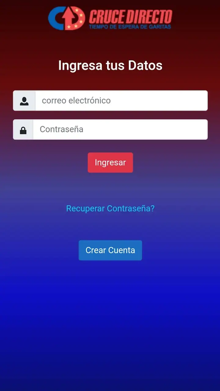
Still, the first week also reveals the central limitation: the app’s usefulness is tied to the quality and freshness of the information available at the moment you need it. I would not install it expecting a complete travel dashboard. I would install it because I cross the Mexico–USA border often enough that even a modest improvement in planning could save frustration.
Who gets the fastest benefit
Frequent commuters, families traveling on a schedule, delivery drivers, and people who regularly choose among border crossings are the clearest audience. These users have repeated decisions to make, so a small amount of timely information can add up. Someone crossing once for a vacation may still appreciate it, but the benefit depends on whether the app covers the crossing they intend to use and whether they remember to check it before setting out.
I would be more cautious recommending it to someone who needs guaranteed arrival timing. No border app can turn a changing queue into a certainty, and this one should not be treated as a reservation system. If missing an appointment would create serious consequences, I would build in extra time and use the app only as one input among several.
Does it earn a place after the novelty fades?
The more important test is not whether the app is handy on the first day, but whether it becomes part of a monthly routine. Its recurring value comes from repetition. Every time you face a crossing decision, the same basic question returns: what do conditions look like now, and is my usual choice still sensible? That makes this a utility with potentially durable value for regular travelers, even though it has a narrow purpose.
I can imagine a realistic weekday scenario. You finish work, need to cross, and have a choice between leaving immediately or waiting for a later time. Instead of relying entirely on yesterday’s experience, you open the app and inspect the current images and waiting information. If the line looks unusually heavy, you might finish another task first or reconsider the crossing. If it looks manageable, you can leave with a more informed expectation. The app does not remove the wait, but it can reduce the feeling that the wait was a complete surprise.
For families, the recurring benefit is slightly different. A parent can check conditions before loading children into the car, packing food, and starting a trip that may become uncomfortable if the queue is much longer than expected. That does not guarantee a smooth crossing, but it supports better preparation. The app is therefore more valuable before the journey than during it, when attention should remain on driving and the people in the vehicle.
For regular users, I would create a personal record outside the app of which crossings usually work best at different times. That is not a built-in feature I am attributing to Cruce Directo Garitas; it is a way to get more from the information it provides. Over time, your own experience can add context that a general waiting-time display cannot: which route is easier after crossing, which location is more convenient for your destination, and how much uncertainty you normally tolerate.
This also explains why the app may not replace the usual alternatives. Navigation apps remain better for route planning and traffic around the wider journey. Official border information or local reporting may be preferable when you need policy updates, closures, documentation guidance, or unusual operational news. Cruce Directo Garitas occupies a narrower space: it helps you inspect crossing conditions, while other tools handle everything around that decision.
The app has an average rating of 2.7 from around 160 ratings, with about 50 written reviews. I would not treat that number as a final verdict, but I would take it as a reason to keep expectations realistic. A specialized utility can be very helpful to the right person and disappointing to someone who expects a polished, all-purpose travel service. Ratings for this type of app are especially dependent on whether the information is useful for a particular crossing and at a particular moment.
There are also in-app purchases priced from $3.99 to $17.99 per item. That changes the long-term question slightly. The free entry point is sensible for testing, but I would not pay for anything until I had used the app across several real trips and understood exactly what extra value the purchase provides. A frequent border traveler may find a paid option worthwhile if it meaningfully improves repeated planning, while an occasional user may get enough from the free experience or prefer to rely on other sources.
What can make continued use tiring
The first source of fatigue is repetition without a clear decision. If you open the app many times but still do not know which crossing is best for your route, the routine can become another small task rather than a useful shortcut. I would avoid checking it compulsively. One planned check before departure and one final look when conditions are likely to have changed is a more sustainable habit.
The second is uncertainty. Waiting-time information can feel precise even when the real experience is not. A displayed estimate may influence your plans, but the border can still move differently by the time you arrive. The best mental model is “current guidance,” not “arrival guarantee.” If you remember that distinction, the app is less likely to create false confidence.
The third is dependence on images. Images can add valuable context, but they are still snapshots. A picture may show the visible line without explaining every factor affecting movement, and it may not answer the personal questions that matter most, such as whether a crossing fits your vehicle, documents, passengers, or final destination. I found the visual element most useful when combined with the waiting information and my own knowledge of the route, not when used alone.
Maintenance burden is relatively low in the sense that the app is focused and does not ask you to build a complicated travel profile. The burden is instead behavioral: you have to remember to open it at the right time and interpret what you see sensibly. Its current version is 1.2.10, and the app was released on June 1, 2023. Those details suggest a product that has had time to establish its basic role, but I would still keep an eye on updates because a live-information tool depends heavily on ongoing maintenance and dependable freshness.
If you change phones or use an older device, the Android requirement is worth checking before making it part of your routine. Devices running Android 7.0 or newer meet the stated minimum. That is helpful for people who do not upgrade frequently, although performance and convenience can still vary with the phone itself and the quality of the connection where you are checking the app.
Small decisions that improve the experience
My first tip is to check before leaving, not after entering a traffic bottleneck. This sounds obvious, but it changes the app from a passive information screen into a planning tool. Once you are close to the border, your alternatives shrink, and even accurate information may no longer help much.
My second tip is to treat the images as a confirmation layer. Start with the waiting information, then look at the visual view to see whether it supports the same impression. When the two seem inconsistent, I would choose caution and allow more time rather than assuming the shorter estimate is the safer one.
My third tip is to judge value over several crossings, not one unusually good or bad day. A single smooth trip may make the app seem unnecessary, while one unexpectedly long queue may make it seem essential. Its real place in your phone becomes clearer when you observe whether it repeatedly changes your decisions or simply confirms what you already knew.
My fourth tip is to avoid paying early. Because the app is free to install but includes optional purchases, I would first identify the exact problem you want solved. If you only need an occasional glance at current conditions, spending money may not improve your routine. If you cross often and a paid feature saves meaningful planning effort, the calculation may be different. The important point is to connect the purchase to repeated use rather than novelty.
Where another option may be better
Cruce Directo Garitas is not the right choice if your main need is turn-by-turn navigation, broad traffic forecasting, lodging, itinerary planning, or official documentation guidance. A standard maps app is better for the road network and arrival route. Official sources are more appropriate for rules and formal notices. Local community channels may sometimes provide context that a focused crossing app cannot, although they may also be less consistent or harder to verify.
It may also be a poor fit if you cross so rarely that you do not want another app in your routine. In that case, the free installation removes much of the financial risk, but not the attention cost. You still need to remember the app, understand what it shows, and avoid mistaking a current snapshot for a guarantee. For a once-a-year trip, checking several trusted sources shortly before traveling may be simpler.
On the other hand, people who cross repeatedly should not dismiss it just because it is narrow. Narrow can be an advantage when the need itself is narrow. I would rather use a focused tool that helps answer the border question quickly than search through a general travel app where the relevant information is buried among unrelated features.
My long-term verdict
Cruce Directo Garitas earns lasting space mainly through repeated usefulness, not through novelty. Its first-week appeal is clear: before a Mexico–USA crossing, current images and waiting-time information can give you a better starting point than guesswork. Its month-to-month value depends on whether you face that decision regularly enough for the routine to matter.
I like the app most as a quick pre-trip checkpoint. It can help commuters, families, and frequent travelers decide when to leave and how much uncertainty to accept. I would not use it as the only authority for a time-critical journey, and I would not expect it to replace navigation or official travel information. Those boundaries are important, but they do not cancel its usefulness.
The free model makes trying it straightforward, while the optional purchases deserve a patient approach. Use the app through several real crossings first, notice whether it changes your choices, and only then decide whether any paid option fits your needs. The developer, Cruce Directo, has positioned the product around a specific recurring problem, and that focus is its strongest quality as well as its main limitation.
With over 10 thousand installs, it has found an audience, though the modest average rating means I would approach it as a practical aid rather than a flawless essential. My recommendation is simple: if you regularly cross at the Mexico–USA border, install it and build a restrained checking habit. If you rarely cross or need comprehensive travel planning, keep it secondary and let a broader navigation or official information source lead. For the right traveler, it can turn an uncertain departure into a more informed one, which is enough to justify keeping it around.
FAQs for Cruce Directo Garitas
What is Cruce Directo Garitas and what is it used for?
Cruce Directo Garitas is designed to help travelers check border-crossing conditions at participating ports of entry. The app can provide useful information such as current wait times, traffic levels, available lanes, and crossing-related updates. It is especially helpful for people who cross the border regularly, although the information should be treated as an estimate rather than a guaranteed prediction.
Does Cruce Directo Garitas show live border wait times?
The application is intended to display updated border wait-time information, but the exact frequency and accuracy of updates may vary depending on the crossing, data source, internet connection, and local conditions. When I reviewed apps of this type, the figures were most useful for comparing different entry points and identifying busy periods. Always allow extra time because queues can change quickly.
Can I use Cruce Directo Garitas without an internet connection?
An internet connection is generally required to load current wait times, traffic reports, maps, and other real-time information. Some previously viewed content may remain temporarily available through your device’s cache, but it should not be considered current while offline. Before traveling, open the app while connected to Wi-Fi or mobile data and verify that the information has refreshed successfully.
Is Cruce Directo Garitas available for both Android and iPhone?
Availability can depend on the current release and the country or region associated with your app store account. Users should search for Cruce Directo Garitas in Google Play or the Apple App Store and confirm the developer name, ratings, permissions, and latest update before installing. If the app does not appear, regional availability or device compatibility may be the reason.
Is Cruce Directo Garitas free, and does it require special permissions?
The app may be available to download at no cost, although pricing, advertising, or optional features can change with future versions. It may request permissions such as internet access, location, or notifications to provide maps, nearby crossing suggestions, and alerts. Review the permission list before installation and only grant access that you consider necessary for the features you plan to use.
Pros
- Provides direct border-crossing information for nearby garitas.
- Useful for checking crossing conditions before leaving home.
- Simple interface makes essential data quick to find.
- Can help compare different border checkpoints.
- Convenient for frequent travelers and daily commuters.
Cons
- Information may vary depending on official update frequency.
- Coverage is mainly useful for specific border regions.
- Internet access may be required for current information.
- Estimated wait times can change rapidly during busy periods.
- Some features or data may be limited by checkpoint availability.


